| Accompanying Lewis map for Clare 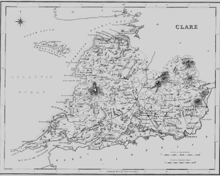
|
| CLONDAGAD |
| CLONDAGAD, or CLONDEGAD, a parish, in the barony of ISLANDS, county of CLARE, and province of MUNSTER, 7- miles (S. S. W.) from Ennis ; containing 4650 inhabitants, This parish is situated on the west bank of the river Fergus, and contains 16,436 statute acres, of which 4711 are good arable and pasture land, and 1 1,725 are improvable bog and mountain, The arable land is good, and produces excellent crops of grain, which, with butter, pork, &c., are sent to Limerick from a small rudely constructed quay at Ballycorig. Good building stone abounds. A senesehal's court is held occasionally at Ballycorig for the manor of Clonroad, in which small debts are recoverable. The living is a vicarage, in the diocese of Killaloe, forming, with part of the rectory, the corps of the prebend of Clondagad in the cathedral of Killaloe, and in the patronage of the Bishop ; the other portion of the rectory is impropriate in John Scott, Esq. The tithes amount to £415. 7. 8-., of which £230. 15. 4-. is payable to the impropriator, and £184. 12. 3-. to the vicar. The glebe-house was erected in 1812, by a gift of £400 and a loan of £296 from the late Board of First Fruits : the glebe comprises 3a. 3r. 22p. The church is a small plain building with a square tower, and was erected on tile site of a tormer one by aid of a gift of £600, in 1808, from the same Board. In the R. C. divisions the parish is the head of a union or district, comprising also the parish of Kilchrist, and containing two chapels ; that for Clondagad is at Launa. There are five private schools, in which about 420 children are educated. At Ballycorig are some remains of the castle of that name. |
| INNISDADROM |
| INNISDADROM, or CONEY ISLAND, a parish and island, in the barony of ISLANDS, county of CLARE, and province of MUNSTER, 3? miles (N. E.) from Kildysart; the population is returned with the parish of Clondagad. It is situated nearly in the centre of the river Fergus, about a mile and a quarter from its western shore, and is estimated to contain about 226 statute acres; it is at present inhabited by about 10 families. The land is remarkably fertile, and chiefly in tillage; the substratum of the soil is limestone, and there is an abundant supply of sea-manure. Between this island and a ridge of rock, called Rat island, is a sound through which vessels drawing 11 feet of water can pass with a leading wind; it is narrow, and not more than two fathoms deep at low water, but the tide passes through it rapidly. It is a rectory and vicarage, in the diocese of Killaloe, forming pan of the union of Lateragh and of the corps of the precentorship in the cathedral of Killaloe; but it is stated in the late report of the Ecclesiastical Commissioners that the parish is withheld from the precentor, although mentioned in his titles. The ruins of two ancient churches still remain, of which that situated at the eastern extremity of the island appears to have been the principal. |
|