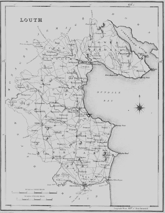
| KILLINCOOLE, a parish, in the barony and county of LOUTH, and province of LEINSTER, 4 miles (S. E.) from Lurgan-Green, on the road from Ardee to Dundalk ; containing 770 inhabitants. According to the Ordnance survey it comprises 1397- statute acres, without any waste land or bog. It is mostly under tillage, and the soil is good and well cultivated. Here is a flax and an oatmeal mill. Stone is quarried for building, and repairing the roads. The principal seats are Fair Valley, the residence of Mervyn Pratt, Esq. ; Killincoole Castle, the property of M. Fortescue, Esq. ; and the glebe-house, of the Rev. J. Wright. The living is a rectory, in the diocese of Armagh, and in the patronage of the Lord-Primate ; the tithes amount to £241. 18. 3. The church is a neat plain building, erected about 1805 by aid of a loan of £500 from the late Board of First Fruits, and has lately been repaired by a grant of £126 from the Ecclesiastical Commissioners. The glebe-house is a handsome residence on a glebe of 15 acres. In the R. C. divisions this parish forms part of the union or district of Darver and Dromiskin. About 14 children are educated in a public school, which is supported by the rector, and about 70 in a private school. The ancient castle of Killincoole is a square building with circular towers at the angles, and has a cave under its eastern side, which is supposed to lead to a well. |