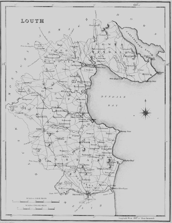
| CAPPOG, or KIPPOGUE, a parish, in the barony of ARDEE, county of LOUTH, and province of LEINSTER, 1 mile (N.) from Dunleer; containing 542 inhabitants, of which number, 128 are in the village. This parish is situated on the road from Drogheda to Dundalk, and comprises, according to the Ordnance survey, 1283- statute acres, partly pasture but chiefly arable land. It is a rectory, in the diocese of Armagh, and constitutes part of the union of Dunleer: the tithes amount to £127. 11. In the R. C. divisions it is also part of the union or district of Dunleer. |